Mapping Services: 6 Best Online Tools
Best mapping services for Avid Travellers

November 2021
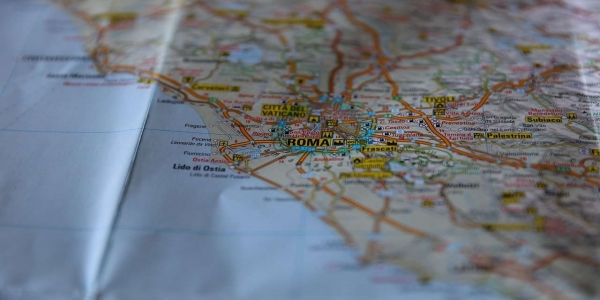
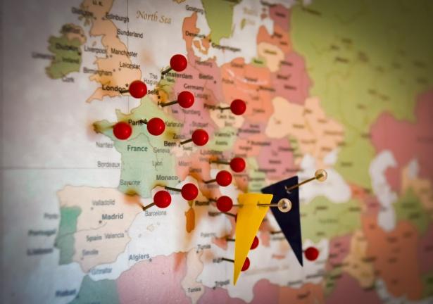
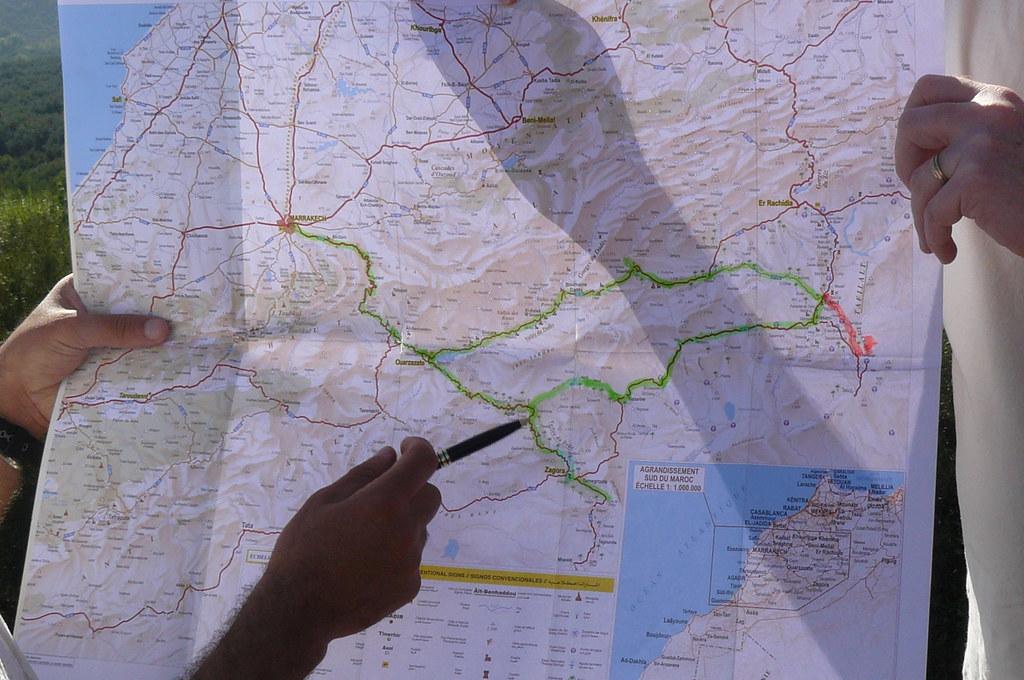
New York, Нью-Йорк, Сполучені Штати АмерикиAre you an avid traveller looking for great options for your next trip? It would be a great idea to hire a car and go on a fun drive off the beaten routes. What’s more, car hire age 21 makes this possible even for young adventure seekers. All you need to do is plan a route, pick up a hire car, and hit the road!
But wait! If everything is clear with car hire, then how to create a unique itinerary for your road trip? Fortunately, there’s nothing easier - you can use Google Maps for this at least. Of course, the list of mapping services doesn’t end there, so choose any of the following excellent tools for analyzing, creating, and publishing your own travel routes.
Scribble Maps
What sets Scribble Maps apart from others is that it’s perfect for both beginners and experts in map editing and route creation. Its simplicity and functionality make Scribble Maps one of the most popular mapping applications not only for travel purposes but also for education and science needs. The service offers users a wide range of options, including map marking, distance measuring, data importing in KML format, tabular data importing, applying custom labels, text, images, and much more.
In its work, the service uses not only Google Maps, but also Street Map and CloudMade, which allows users to choose the most convenient option. You can save the finished map in the gallery of the service, and then share a direct link to it, publish it on social networks, or embed it as a widget into your website or blog. It‘s also possible to export the finished map or route as an image, KML, or GPX file.
Open Street Map
The Open Street Map (OSM) service adheres to the same principles that formed the basis for the world-famous Wikipedia. All the information here appeared through the efforts of millions of users who provide the project with data from personal GPS trackers, aerial photographs, video recordings, satellite images, and street panoramas. Although the accuracy of this data varies considerably from region to region, the OSM for some areas contains more detailed information than Google Maps.
All registered users automatically get access to map editing. At the same time, you can export data from your GPS device, draw routes manually, put markers, mark points of interest and memorable places, give descriptions and comments, and create your own routes for your future road trip. It’s possible to export maps in OpenStreetMap XML format, as an image (PNG, JPEG, SVG, PD), or get HTML code to place them on any website.
Tripline
Tripline can help you plan a route for your future trip, but it can do something else. This service is perfect for creating a multimedia presentation about the roads you have travelled. The service combines three components: your route, photos, and music that best reflects the spirit of your adventure.
After you put it all together, the service will generate a spectacular story about your impressions, during which the viewer will move around the map and admire the photos tied to the shooting location. All this is accompanied by wonderful music, of course.
Having spent one effort after the trip to create such an interactive report, you can insert it on your page or blog, send it to all friends, and publish it on social networks.

ZeeMaps
ZeeMaps provides customers with a quick and easy way to create routes and share interactive maps of the world. With this service, you can visualize routes on the map in KML, KMZ, or GeoRSS formats, as well as add your own marks and comments.
A distinctive feature of this service is the ability to work with tabular data. So, if you have a table with the coordinates of the desired points or, for example, addresses of points of interest, then you can transfer this data to ZeeMaps, and it will instantly plot them on the map.
All maps are stored on the servers of the service and are available at any time using a unique link. In addition, it’s possible to print the map, save it as an image and get the HTML code for embedding into a website or blog.
QuickMaps
The QuickMaps service lives up to its name: you can create a map or route here as quickly as possible. What’s more, you don’t even need to register for this - just come up with a name for the map, a short description and you can get down to business.
Although at first glance, the service does not have enough tools, in fact, everything you need is in place. You can mark routes with straight lines or in free drawing mode, make text markings, import files in KML or GPX formats from the Web and upload them from your computer. By the way, QuickMaps can give odds to much bigger services in terms of a variety of markers.

Bing Maps
The mapping service Bing Maps has long been somewhat overshadowed by its main competitor. It was completely in vain! After the beginning of the collaboration between Microsoft and Nokia, this service began to use data from Nokia Maps, which always had good coverage and excellent detail.
Within Bing Maps, the user gets only the minimum of features necessary for building a map - placing markers, drawing tracks and polygons with various types of lines, adding photos and comments are among them. In order to export a finished map, you need to save it first. After that, you can get a direct link to the map and the code to embed it into any web page.
You Must be logged in to post a comment